PDF
Company ProfileArticles and project stories
Articles & Case Studies
Read articles and stories from our projects, or find brochures and technical documents.
Looking only for downloadable collateral? Browse brochures
Articles and case studies share one list. Each item is labelled by type, and you can filter the list to find what you need.
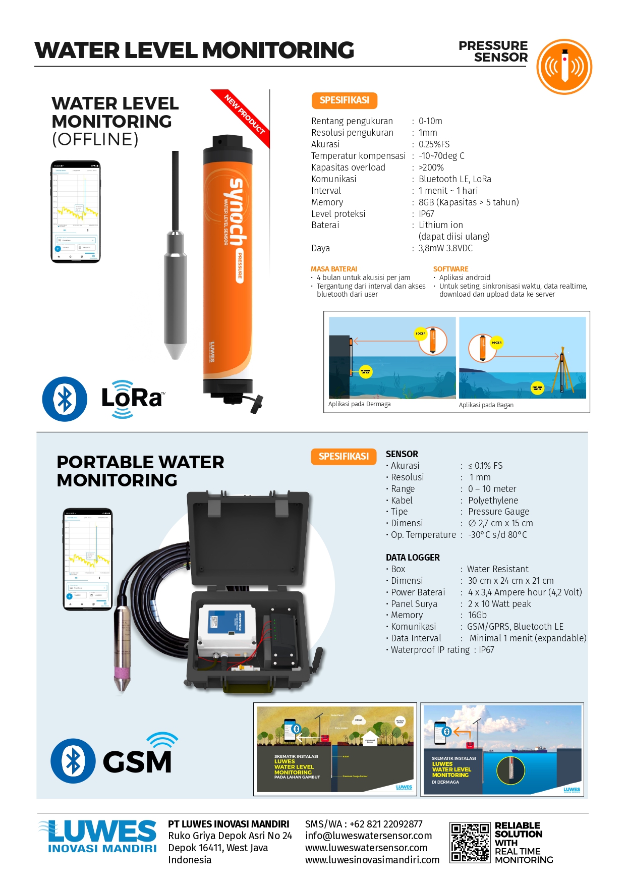 Brochure
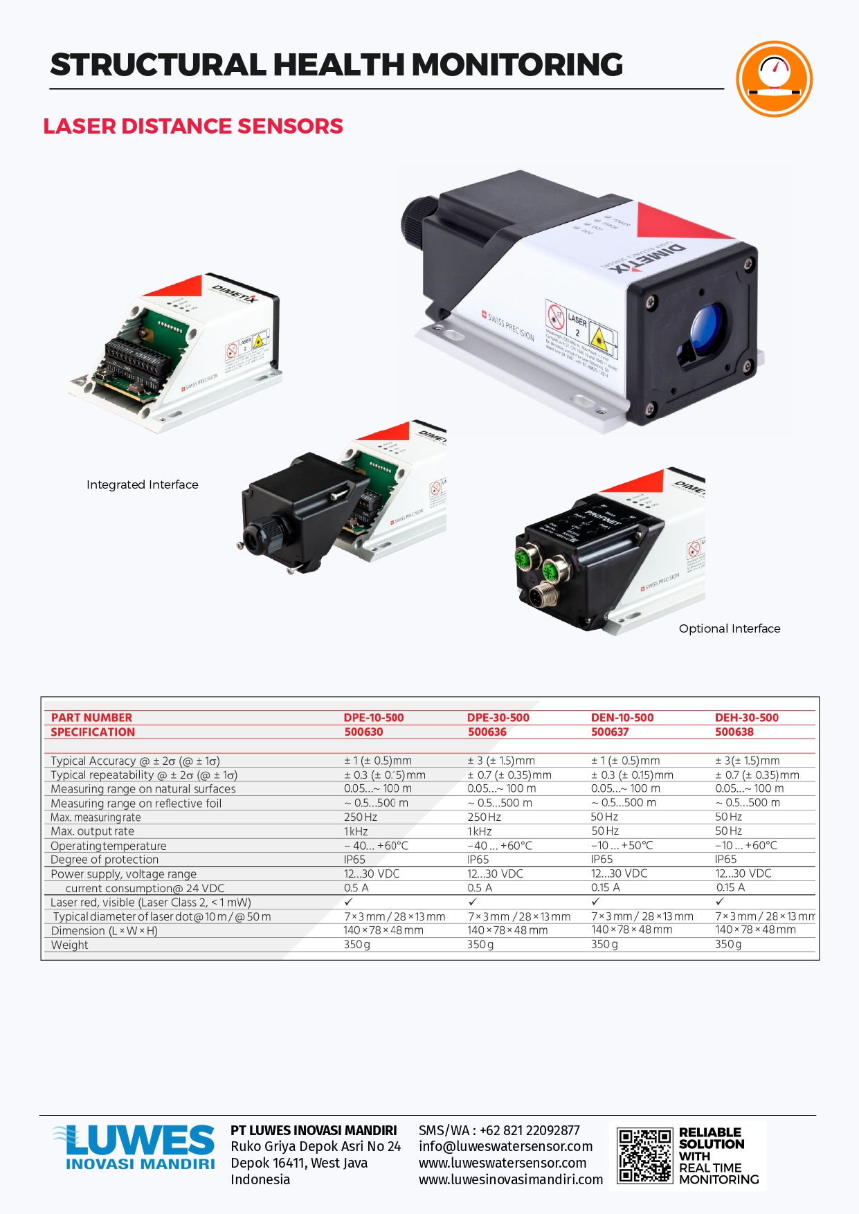 Brochure
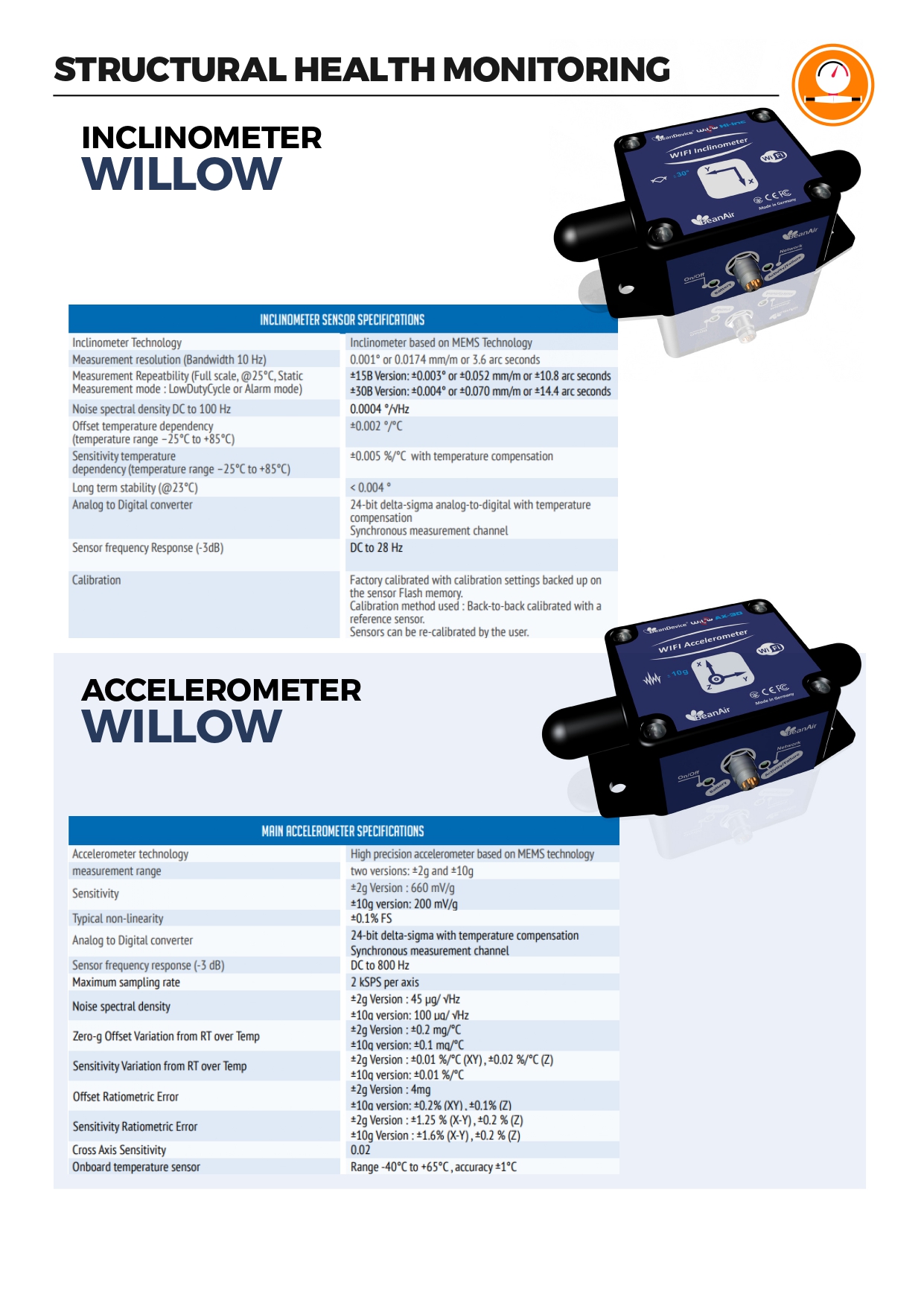 Brochure
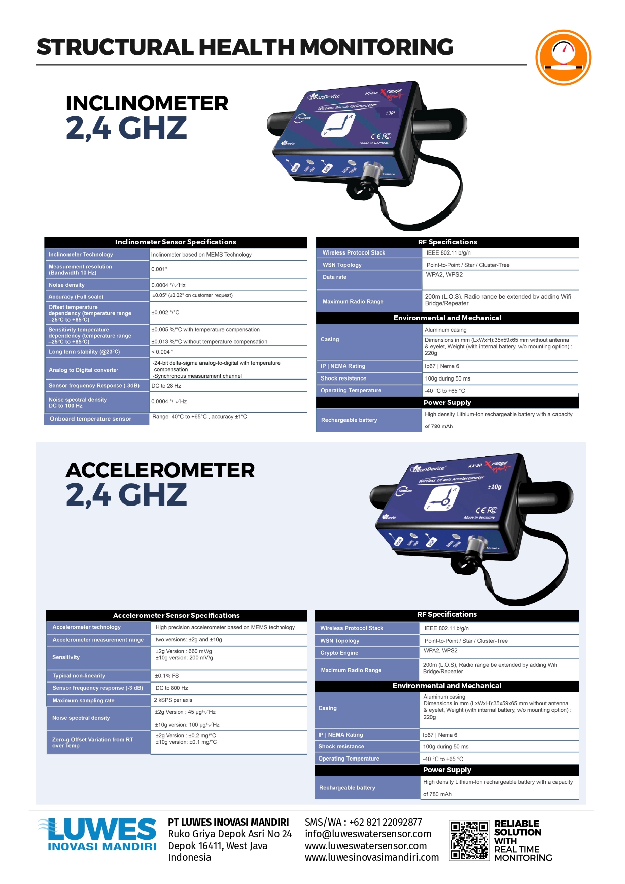 Brochure
 Brochure
 Brochure
 Brochure
 Brochure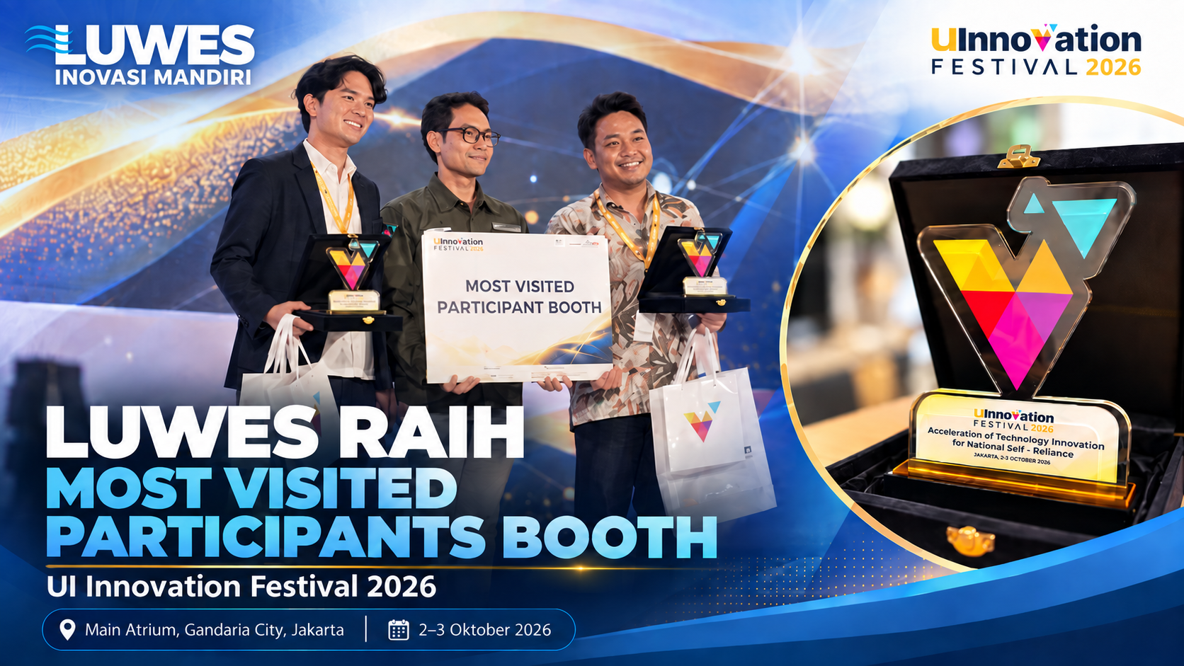
Article
Luwes Inovasi Mandiri Wins Most Visited Participants Booth Award at UI Innovation Festival 2026
PT Luwes Inovasi Mandiri received the Most Visited Participants Booth Award at UI Innovation Festival 2026, reflecting strong public enthusiasm for its technology and innovation solutions.
Article
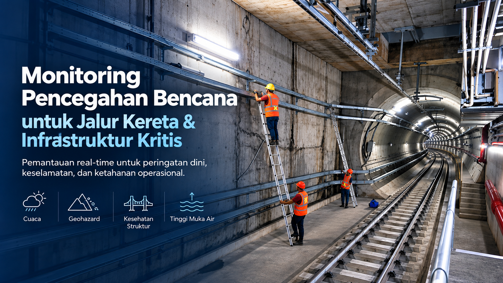
Disaster Prevention Monitoring for Railways and Critical Infrastructure
Real-time monitoring helps infrastructure operators detect changing conditions earlier, reduce dependence on manual inspections, and strengthen preparedness for risks that could affect safety and operations.
Article
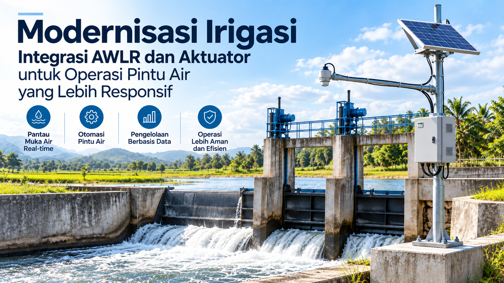
Irrigation Modernization: Integrating AWLR and Actuators for More Responsive Water Gate Operations
Irrigation management can no longer rely solely on water-level readings and separate manual gate operations. Integrating AWLR sensors, actuators, telemetry, and control systems creates a more responsive, measurable, and data-driven approach to water distribution.
Article
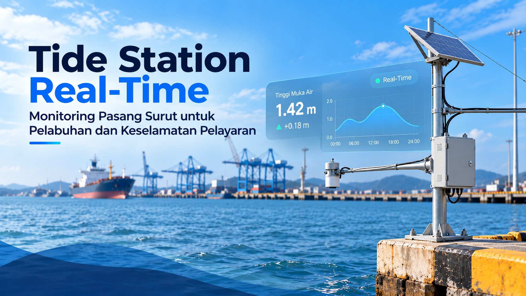
Tide Station Real-Time: Monitoring Tides for Ports and Maritime Safety
Real-time tide station monitoring provides accurate, continuous sea-level data to support safer port operations, coastal management, and better-informed maritime decisions.
Article
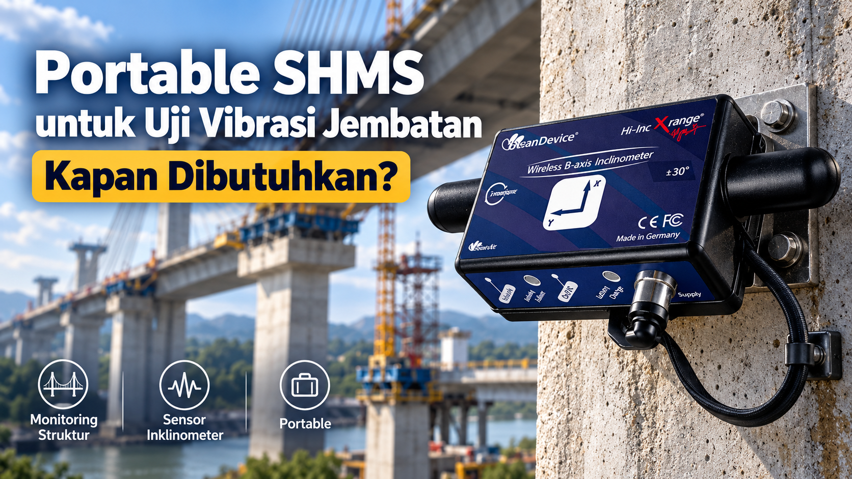
Portable SHMS for Bridge Vibration Testing: When Is It Needed?
Vibration in a bridge does not necessarily indicate structural damage. However, when vibration patterns change, the structure responds differently, or objective data is needed to support an engineering assessment, a Portable Structural Health Monitoring System (SHMS) can help engineers “listen” to how a bridge responds to loads.
Article
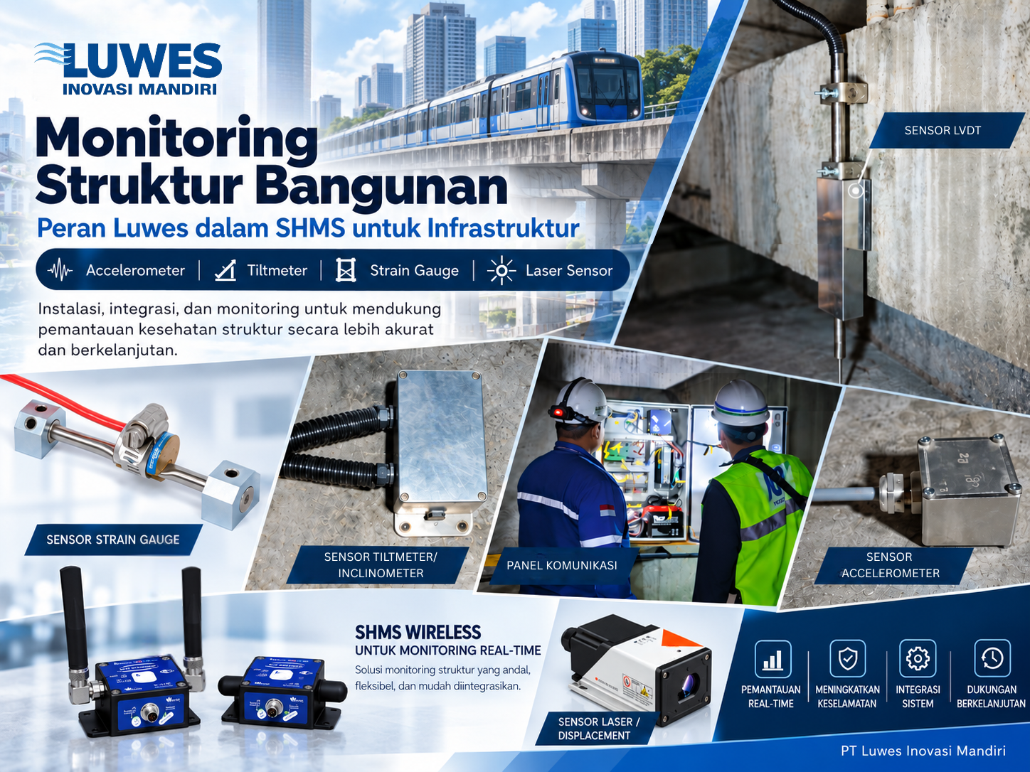
Structures Are Never Completely Still: Understanding the Role of SHMS in Infrastructure Monitoring
Structural Health Monitoring System (SHMS) helps infrastructure owners understand how structures behave over time by continuously measuring parameters such as vibration, strain, inclination, displacement, water pressure, and water level. Applied to bridges, buildings, elevated and tunnel MRT structures, dams, and other critical infrastructure, SHMS supports more focused inspection and maintenance by identifying changes from established structural behavior. The system complements—not replaces—engineering assessment and field inspection.
Article
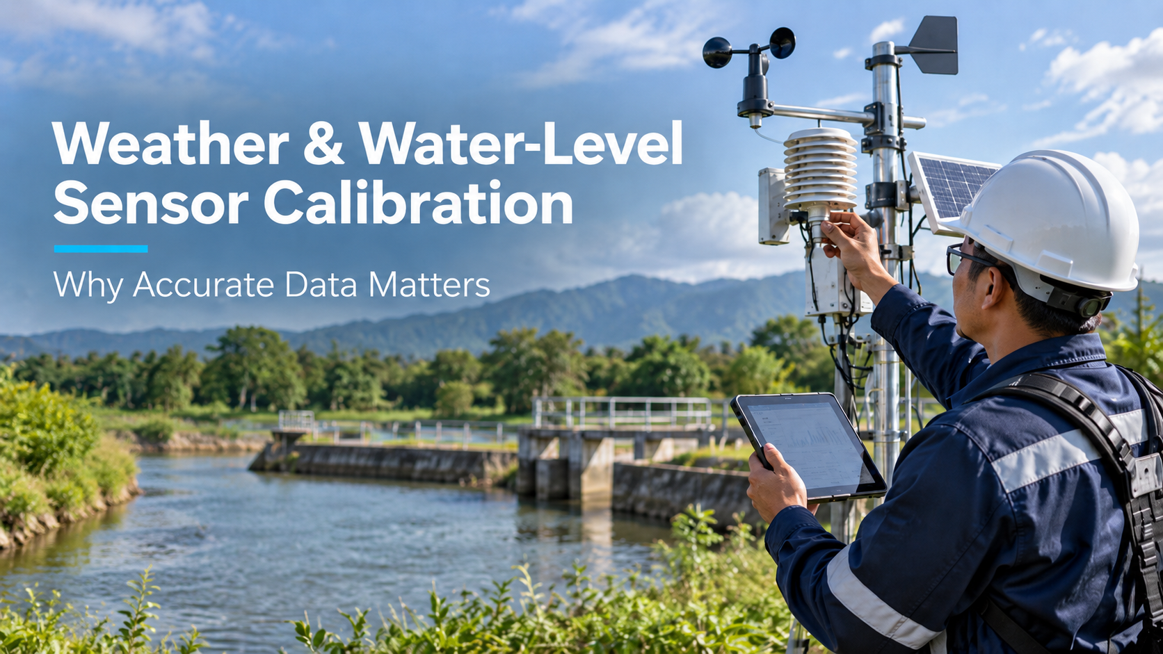
Weather and Water-Level Sensor Calibration: Why Accurate Data Matters Before It Drives Decisions
Regular calibration and maintenance of weather and water-level sensors help ensure monitoring data remains accurate, reliable, and suitable for operational decision-making.
Article
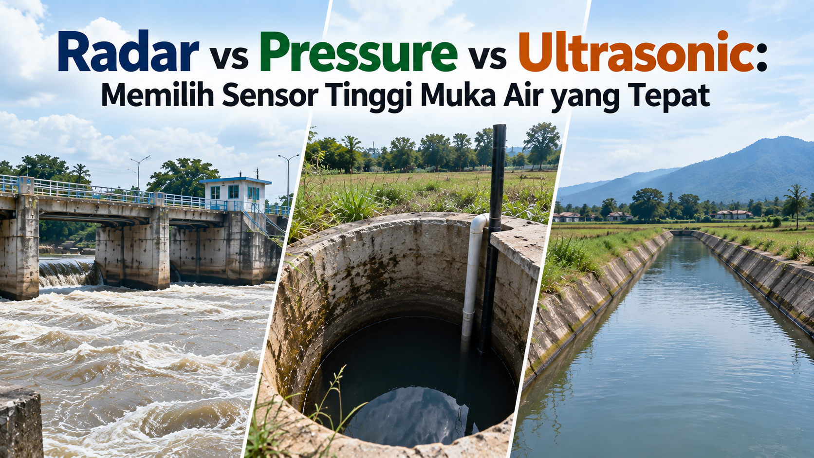
Radar vs Pressure vs Ultrasonic: Choosing the Right Water Level Sensor
Choosing the right AWLR sensor depends on site conditions, with radar suited to dynamic open-water environments, pressure sensors ideal for wells and groundwater, and ultrasonic sensors effective for stable non-contact measurements.
Article
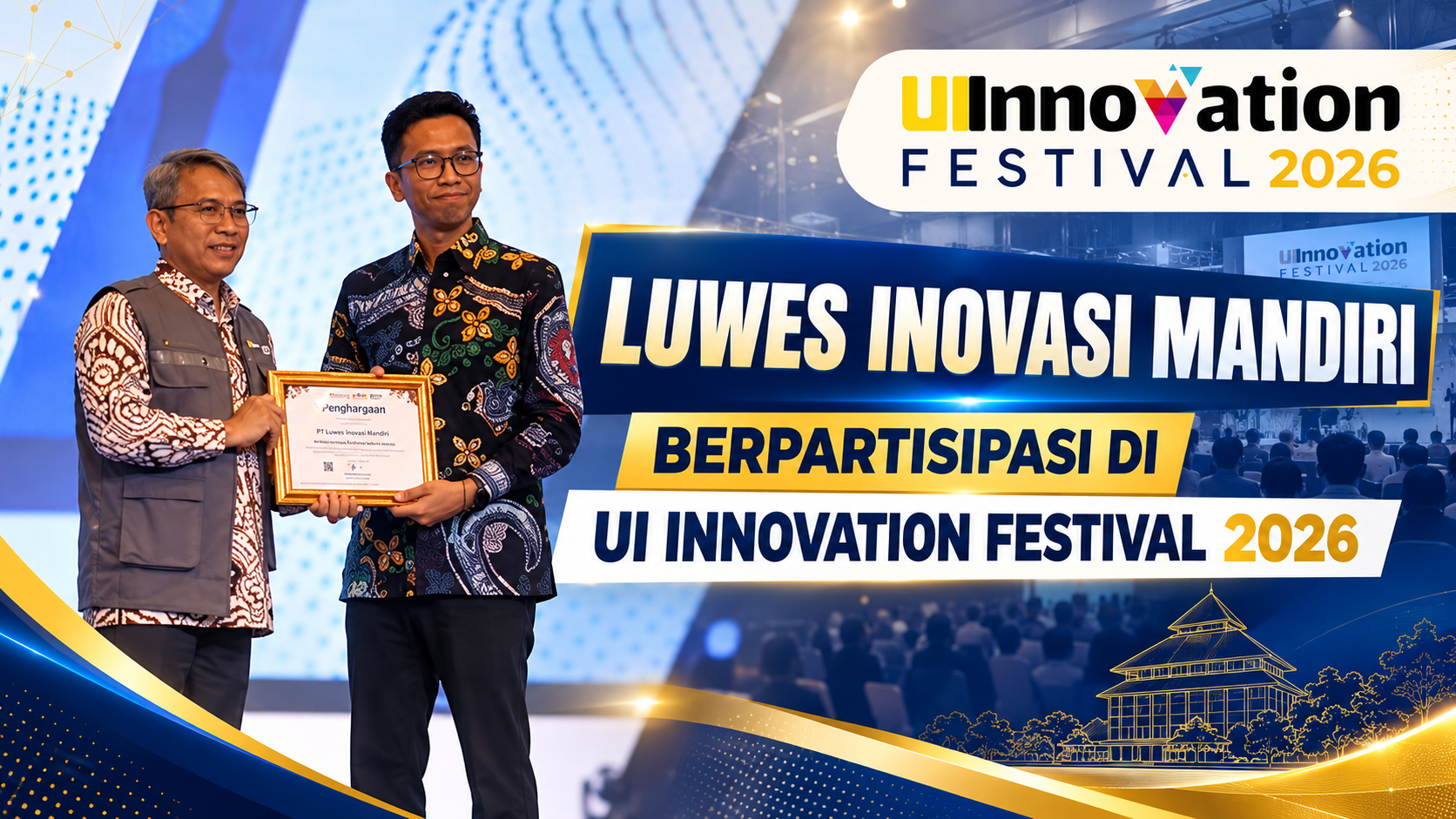
Luwes Inovasi Mandiri Brings Innovation to UI Innovation Festival 2026
PT Luwes Inovasi Mandiri is participating in UI Innovation Festival 2026 as part of its effort to introduce technology-driven innovation to the public and open new opportunities for collaboration. Through this event, Luwes is presenting solutions developed to address environmental monitoring and area management needs, while reinforcing the company’s commitment to delivering practical, relevant, and data-driven innovation.
Article
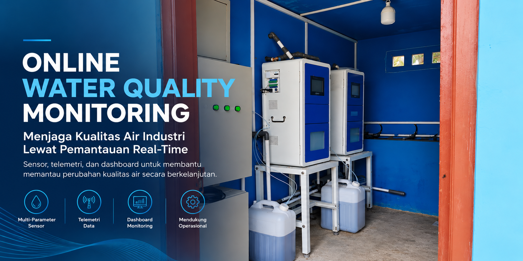
Protecting Industrial Water Quality Through Real-Time Online Environmental Monitoring
Sensor- and telemetry-based industrial water quality monitoring helps consolidate data from multiple monitoring points to support more measurable and documented mining and plant operations.
Article
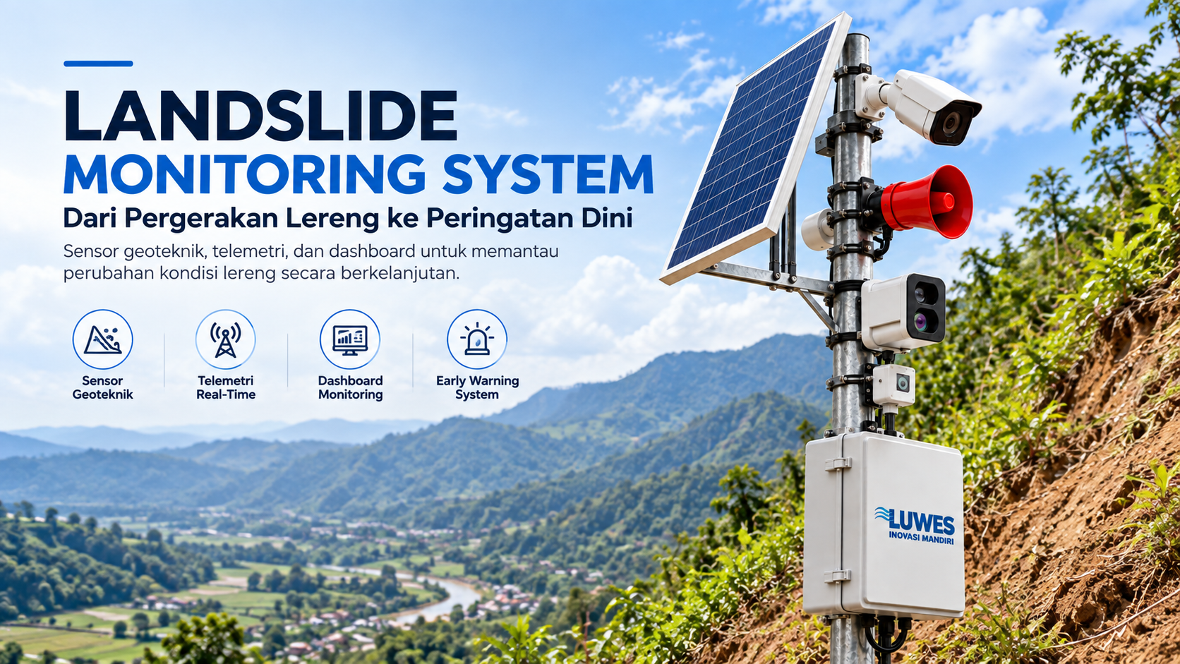
From Slope Movement to Early Warning: Landslide Monitoring with Sensors and Telemetry
A Landslide Monitoring System integrates geotechnical sensors, telemetry, dashboards, and Early Warning Systems to support measurable and documented slope monitoring.
Article
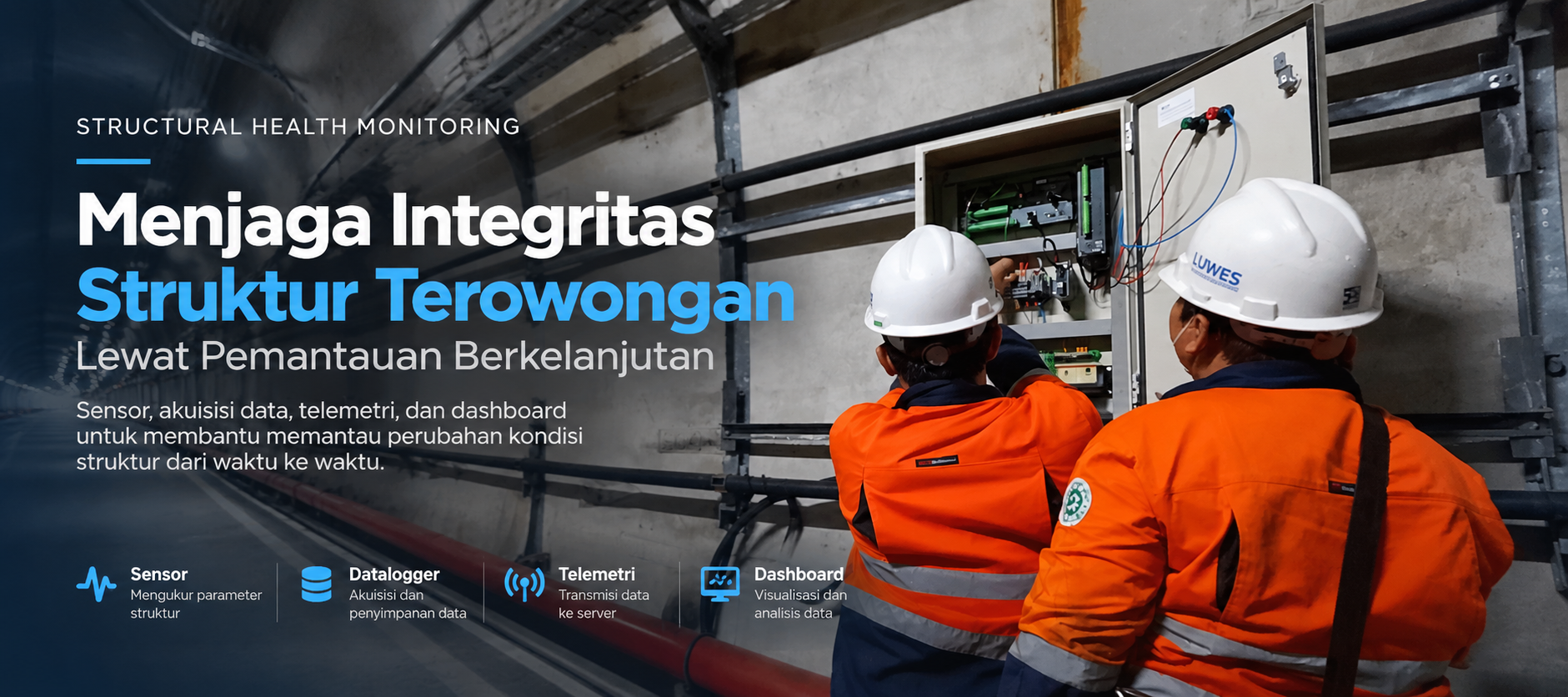
Protecting Tunnel Structural Integrity Through Continuous Monitoring
A Structural Health Monitoring System integrates sensors, dataloggers, telemetry, baseline data, and dashboards to help engineers monitor changes in tunnel structural conditions over time.
Article
Integrated Dam Monitoring: From Hydrology and Water Quality to SCADA and Structural Health
Dam monitoring requires a broader perspective than water-level measurement alone. Weather conditions, rainfall, water quality, structural behavior, and equipment status are interconnected elements that need to be understood together. By integrating AWS and Spire weather data, ARR, AWLR, AWQ, SHMS, EWS, SCADA, and control room systems, field data can be brought together into a more comprehensive monitoring environment. This helps operators understand the relationship between weather, rainfall, water-level changes, water quality, and structural conditions while also receiving warnings when predefined thresholds are reached. PT Luwes Inovasi Mandiri provides customizable dam monitoring solutions, from field instruments and telemetry to fully integrated monitoring systems.
Article
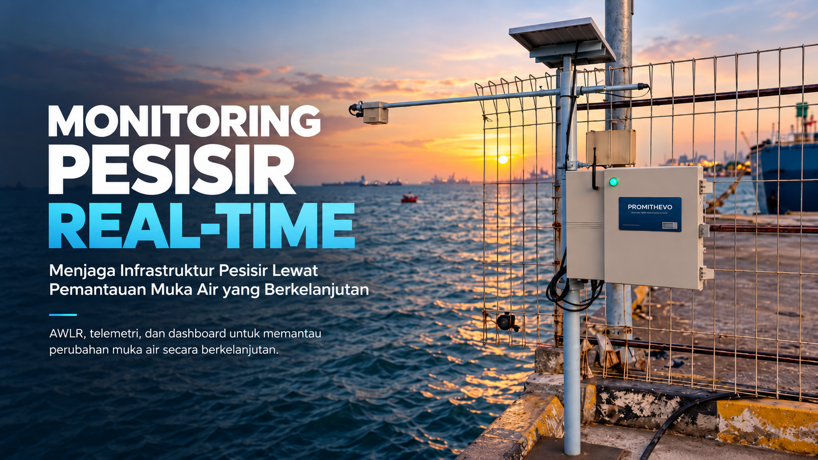
From Tides to Data: Real-Time Monitoring for Coastal Infrastructure
An AWLR and telemetry-based coastal monitoring system continuously records water level changes and integrates the data into a monitoring dashboard to support coastal and marine infrastructure monitoring.
Article
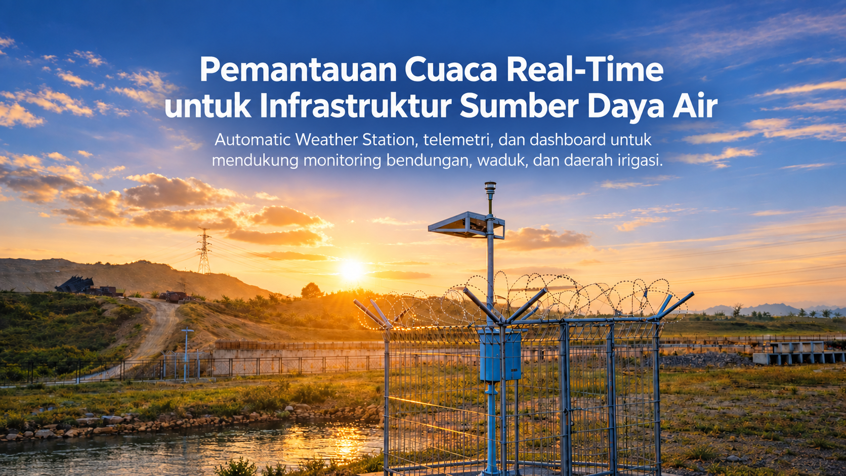
Real-Time Weather Monitoring for Water Resources Infrastructure
An Automatic Weather Station monitors actual weather conditions at dams and water resources infrastructure through sensors, telemetry, and dashboards that can be integrated with ARR, AWLR, and other monitoring systems.
Article
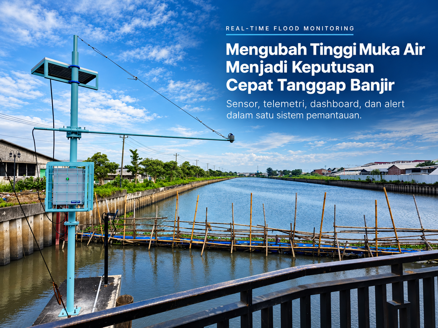
Turning Water Level Data into Faster Flood Response Decisions
A real-time flood monitoring system integrates water level sensors, telemetry, dashboards, rainfall data, CCTV, and Early Warning Systems to help operators monitor changing conditions and respond more quickly.
Article
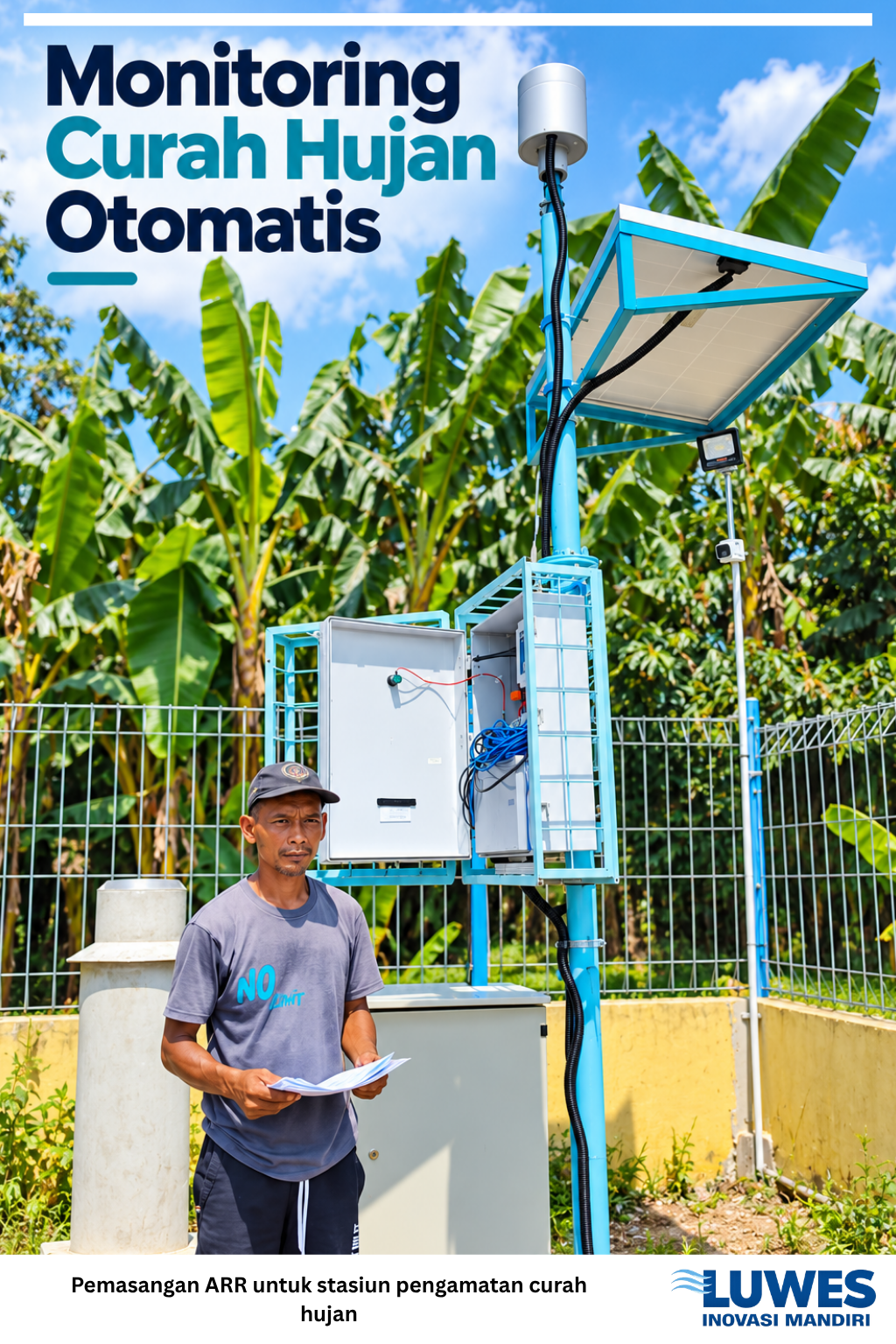
Automatic Rainfall Recorder (ARR): Turning Rainfall into Data for Better Water Resources Management
The Automatic Rainfall Recorder (ARR) with a tipping bucket mechanism automatically records rainfall and converts it into digital data that can be monitored through an online dashboard. It allows users to observe rainfall amount, intensity, timing, and historical patterns without relying on manual field recording. The standard ARR configuration includes a measurement range of up to 0–200 mm/h, approximately ±0.2 mm accuracy, 0.1 mm resolution, local data storage, GSM/4G LTE or LoRaWAN communication, and an independent solar-powered system. These specifications can be customized to suit project requirements and site conditions. PT Luwes Inovasi Mandiri also supports ARR calibration through BMKG, helping ensure that the system not only provides real-time rainfall data but also maintains reliable measurement performance over time.
Article
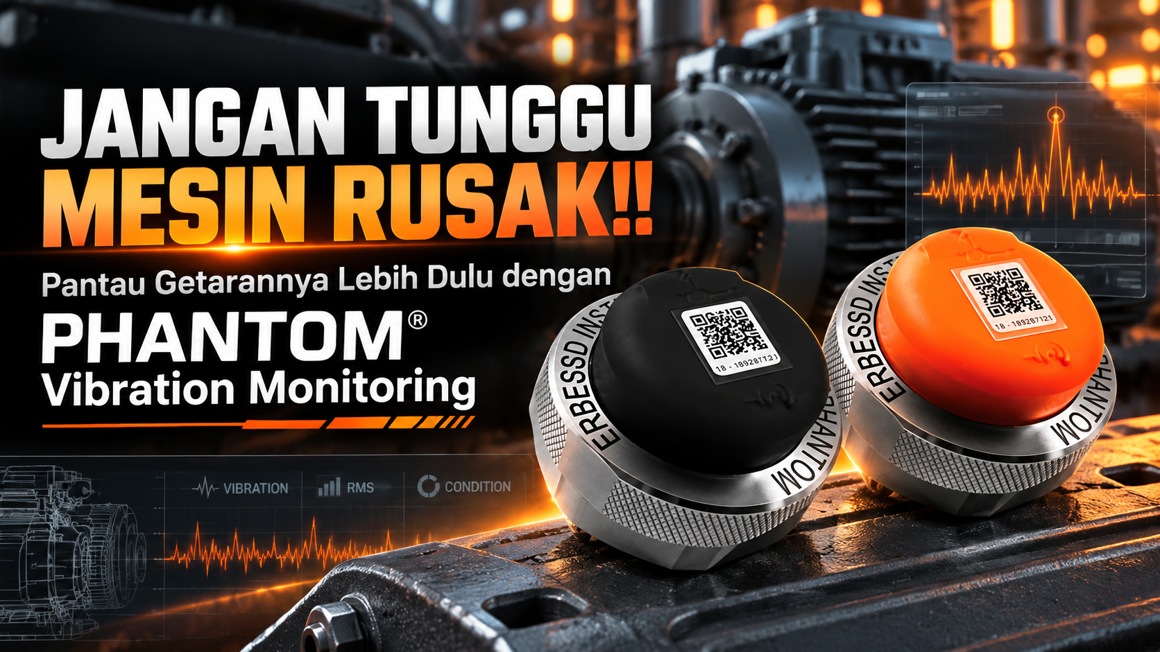
PHANTOM® Wireless Vibration Monitoring: Wireless, Data-Driven Machine Condition Monitoring
PHANTOM® Vibration Monitoring provides a wireless condition monitoring solution that connects vibration sensors, BLE 5.0, gateways, databases/cloud systems, and analytics to help industries monitor and understand rotating equipment conditions in a more practical and data-driven way.
Case study
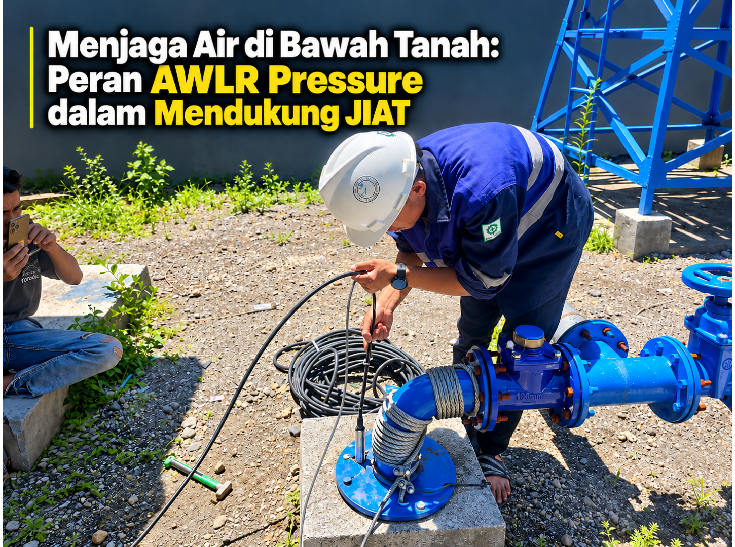
Protecting Water Below Ground: The Role of Borewells and Pressure-Based AWLR in Supporting JIAT
Borewells can provide an important source of irrigation water for productive agricultural areas that are not adequately served by rivers or surface irrigation networks. However, constructing a borewell alone is not enough. Groundwater levels should also be monitored to understand how the well responds to pumping and how quickly the water level recovers. A pressure-based Automatic Water Level Recorder (AWLR) using a submersible pressure sensor can continuously record groundwater level changes and transmit the data to a monitoring dashboard. By combining borewell infrastructure with continuous monitoring, operators can build historical records, evaluate pumping conditions, and support more measurable and data-driven management of Groundwater Irrigation Networks (JIAT).
Case study
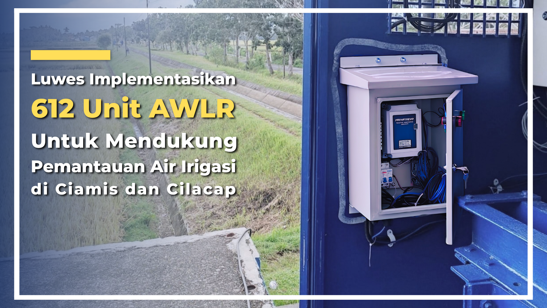
Luwes Implements 612 AWLR Units to Support Irrigation Water Monitoring in Ciamis and Cilacap
PT Luwes Inovasi Mandiri has implemented 612 Automatic Water Level Recorder (AWLR) units across irrigation networks from Ciamis to Cilacap to support digital and real-time monitoring of water levels. This large-scale deployment covered device and sensor installation, data logger configuration, telemetry, server integration, monitoring platform setup, testing, and commissioning. The project involved not only technical challenges but also diverse field conditions, difficult site access, and the need to maintain consistent installation standards across hundreds of monitoring points. Through an integrated monitoring system, water-level data from multiple locations can be transmitted to a central server and accessed through a monitoring platform. This information provides supporting data for water resource managers to monitor irrigation conditions and support more effective water distribution management. The implementation of **612 AWLR units** represents Luwes’ experience in delivering large-scale water resource monitoring systems, integrating field engineering, instrumentation, telemetry, and digital monitoring into a single monitoring ecosystem.
Article
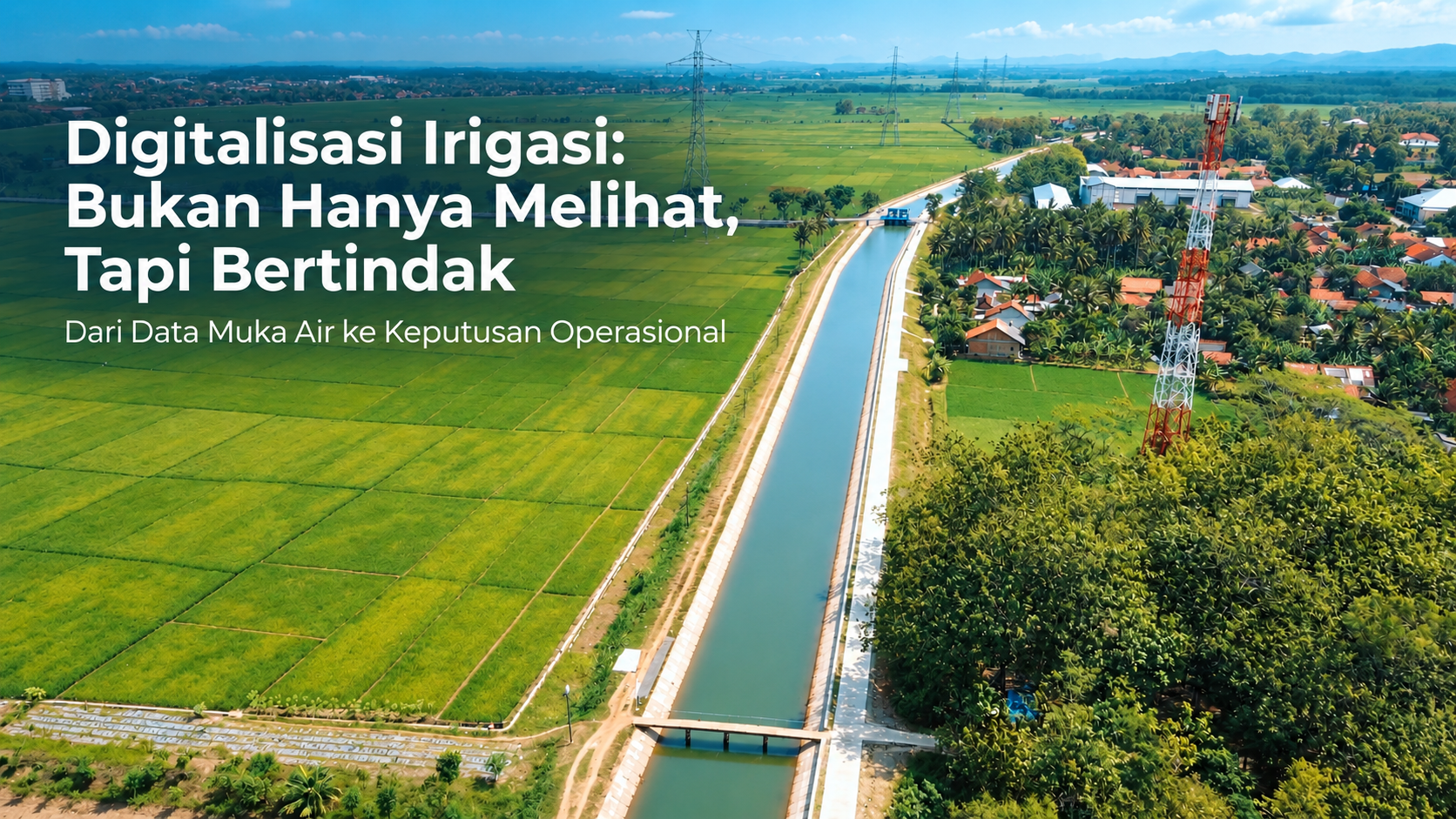
Digitalizing Irrigation Systems: From Water Level Monitoring to Operational Decision-Making
Irrigation digitalization integrates AWLR, telemetry, monitoring dashboards, and actuators to transform real-time water level data into information that supports operational decisions and water gate control.
Article
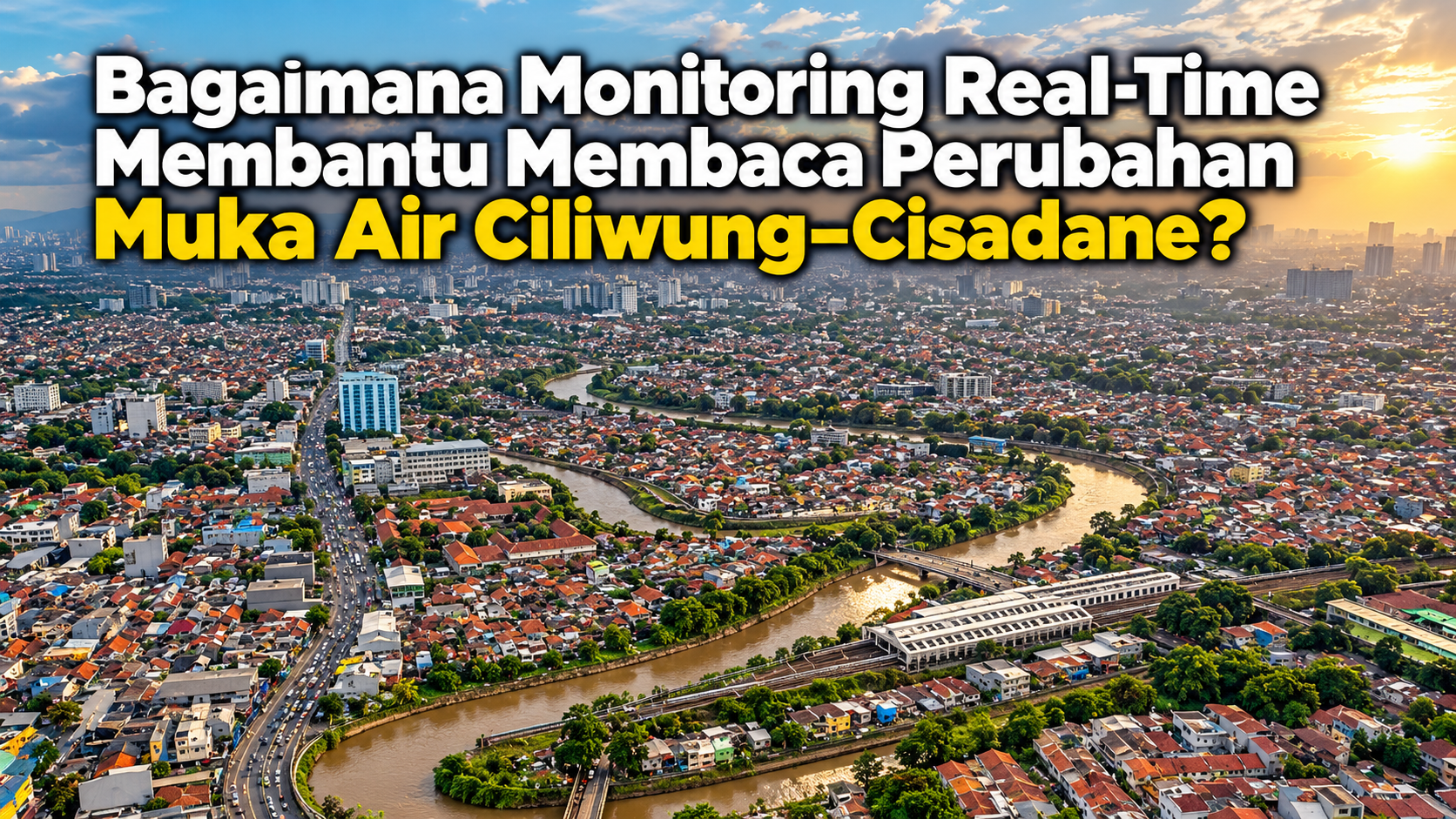
Strengthening Water Level Monitoring at Three Ciliwung–Cisadane Locations
Water level monitoring at Cengkareng Drain, Dadap, and the Airport Outlet demonstrates that more responsive river management begins with accurate field data, proper installation, and real-time dashboard integration; through this system, water-level changes can be continuously monitored, directly verified in the field, and used as a basis for faster, more measurable evaluation to support more reliable management across the Ciliwung–Cisadane region.
Article
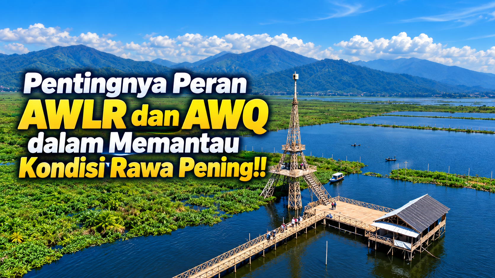
From Blere and Torong, Water-Level Data Helps Track Conditions in Rawa Pening, Semarang Regency
AWLR and AWQ monitoring at Rawa Pening demonstrates that accurate, continuous, and integrated water-level and water-quality data are essential foundations for more responsive, measurable, and sustainable water resource management.
Article
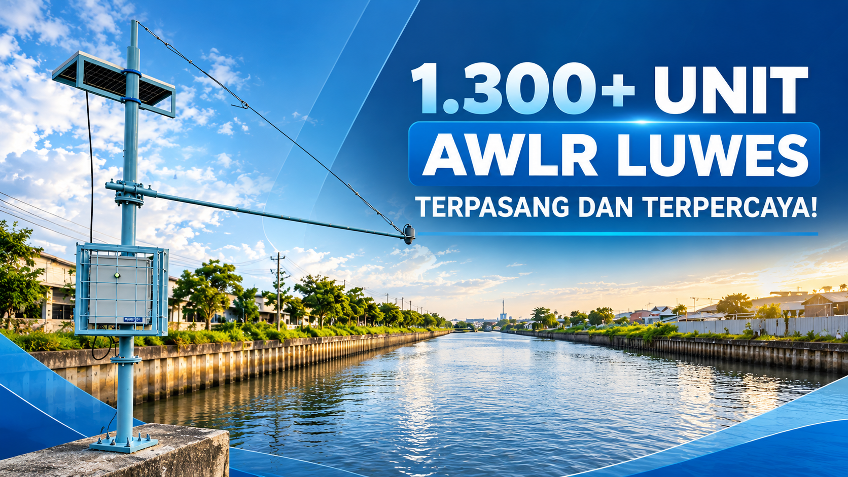
PT Luwes Inovasi Mandiri Real-Time Telemetry AWLR System
With 1,300+ AWLR units installed across diverse monitoring environments, PT Luwes Inovasi Mandiri demonstrates extensive field experience in delivering reliable, real-time water-level monitoring solutions for marine, river, irrigation, groundwater, and peatland applications.
Article
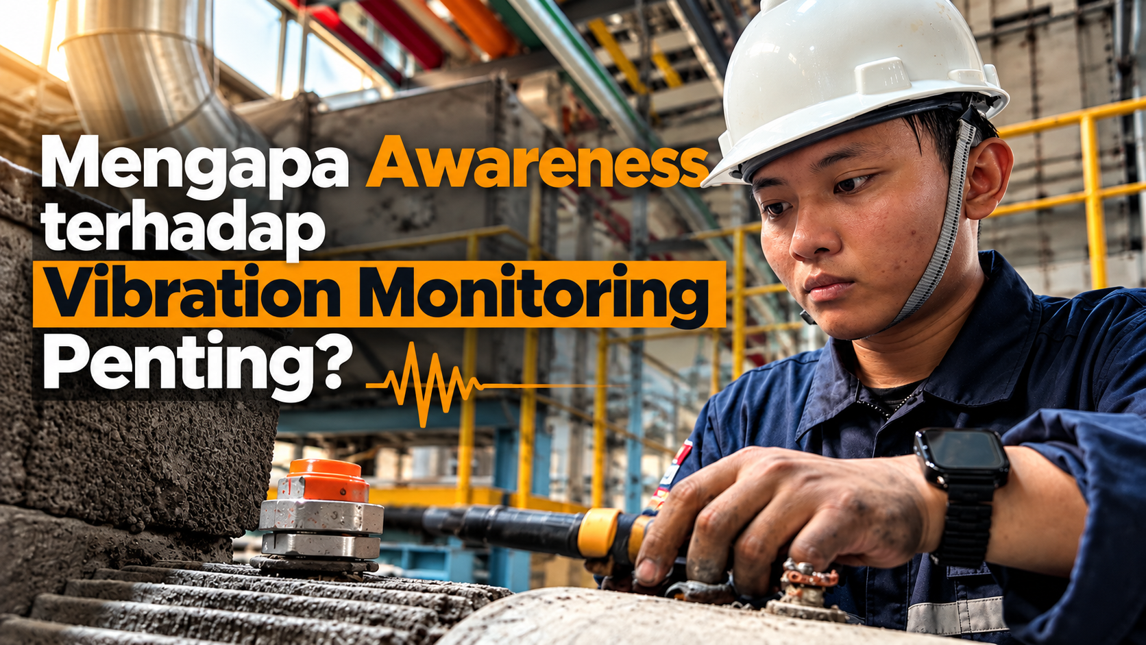
Vibration Monitoring: From Detection to Action
Vibration monitoring enables industries to detect early signs of mechanical deterioration, reduce unplanned downtime, and make more informed maintenance decisions through continuous or periodic machine condition data.
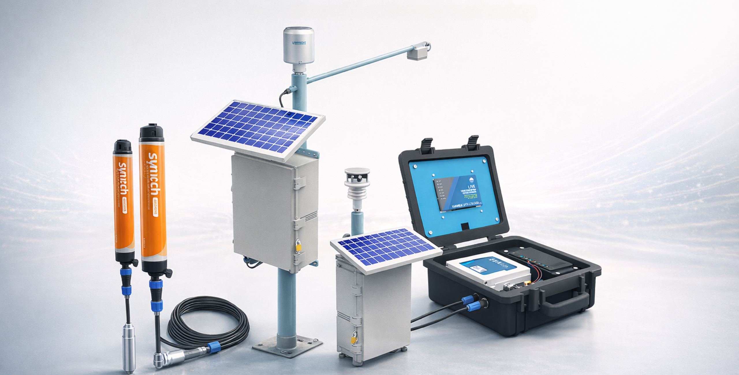
Article
Portable vs Permanent Water Level Sensors: When Should Each Be Used?
Portable or permanent? Discover the differences between water level sensors and when to use each for monitoring rivers, irrigation systems, and groundwater.
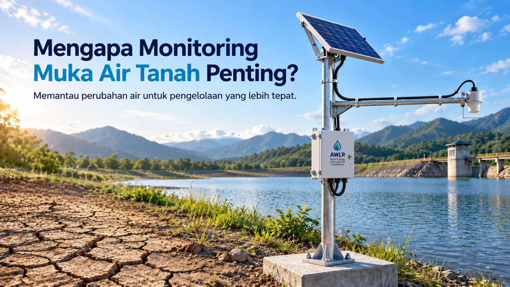
Article
Automatic Groundwater Level Monitoring with AWLR for Wells and Raw Water Sources
AWLR helps monitor groundwater levels and raw water sources automatically and in real time. The system integrates sensors, data loggers, telemetry, data storage, and dashboards to support monitoring and decision-making. Luwes Inovasi Mandiri provides an integrated AWLR solution that has been deployed in Indonesia and several other countries.
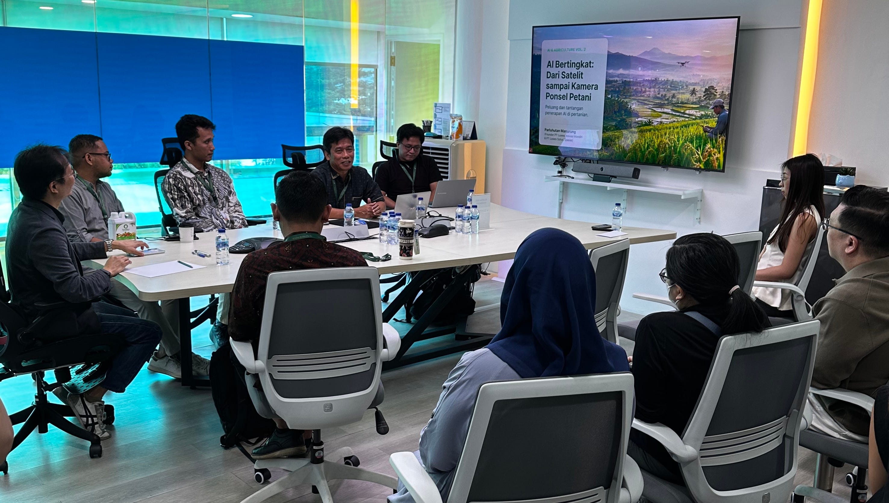
Article
Luwes Presents Agricultural AI Solutions, from Satellites to Farmers’ Smartphone Cameras
The multi-layered AI approach combines satellite imagery, weather information, drones, sensors, and field observations to produce practical and verifiable agricultural recommendations.
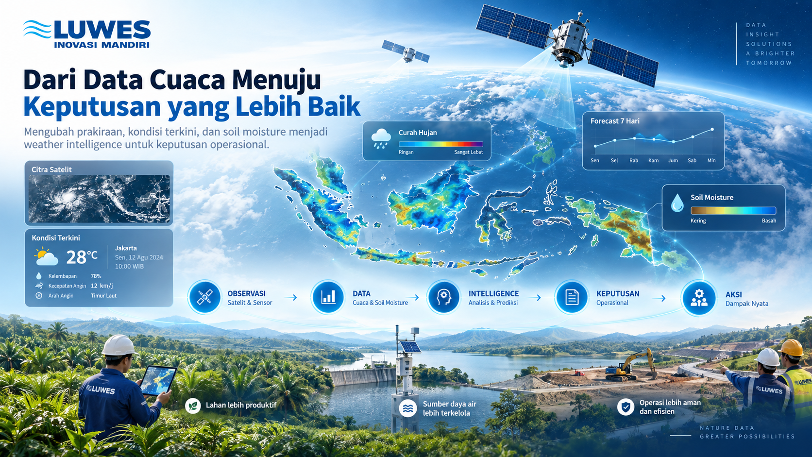
Article
From Weather Data to Better Decisions: Turning Forecasts into Operational Intelligence
Weather data becomes more valuable when it helps answer operational questions. Discover how Luwes Inovasi Mandiri transforms current weather, high-resolution forecasts, and soil moisture information into actionable weather intelligence.
Article
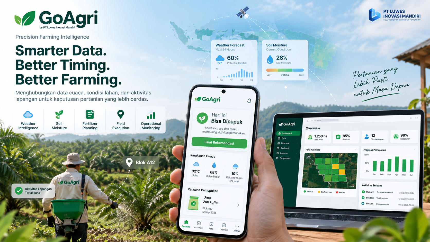
GoAgri: Turning Weather and Field Data into Smarter Farming Decisions
GoAgri is a precision farming intelligence platform developed by PT Luwes Inovasi Mandiri to help agricultural operations make better decisions by combining weather information, field conditions, activity planning, and operational monitoring in one integrated system.
Article
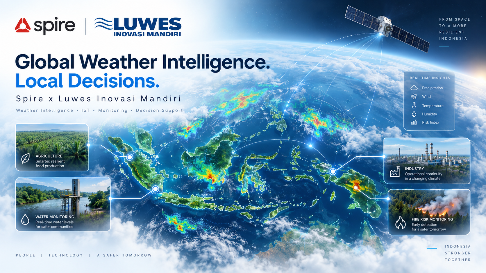
Global Weather Intelligence. Local Decisions.
PT Luwes Inovasi Mandiri integrates Spire's weather intelligence with local technology and operational solutions to help organizations across Indonesia make faster, more informed, and data-driven decisions.
Article
Shallow Water Mapper: A Satellite-Based Solution for Shallow-Water Bathymetric Mapping
Shallow Water Mapper (SWM) is a solution from PT Luwes Inovasi Mandiri for mapping shallow-water bathymetry using multispectral satellite imagery and machine learning. SWM supports area selection, image correction, depth prediction, accuracy assessment using field data, and map export. SWM helps accelerate preliminary surveys, prioritize field measurements, and support coastal planning and management.