Spire Global × PT Luwes Inovasi Mandiri

Detailed weather forecasts and soil moisture data

Weather and soil information for Indonesia High-resolution weather modeling platform (~3 km) for Indonesia, providing hourly forecasts up to 6 days ahead using satellite and ground station data integration.
  • Indonesia-wide coverage
  • 3 km Resolution & Hourly Output
  • Data Update 2× Daily
  • Combines satellite and ground measurements
Luwes Precision Farming Intelligence dashboard

How the platform works

The platform combines satellite observations, ground sensors, and weather models to provide forecasts and soil moisture information.
  • Hourly Weather Forecast up to 6 Days
  • Soil moisture at different depths
  • Satellite and field station data
  • Data access through APIs and web maps

Indonesia National Coverage

  • Full Indonesia Territory Coverage
  • Tropical Climate Optimized Model
  • Maritime and Land Surface Hybrid Modeling
AgricultureGovernmentDisaster MitigationEnergyAviationMaritimeSmart City
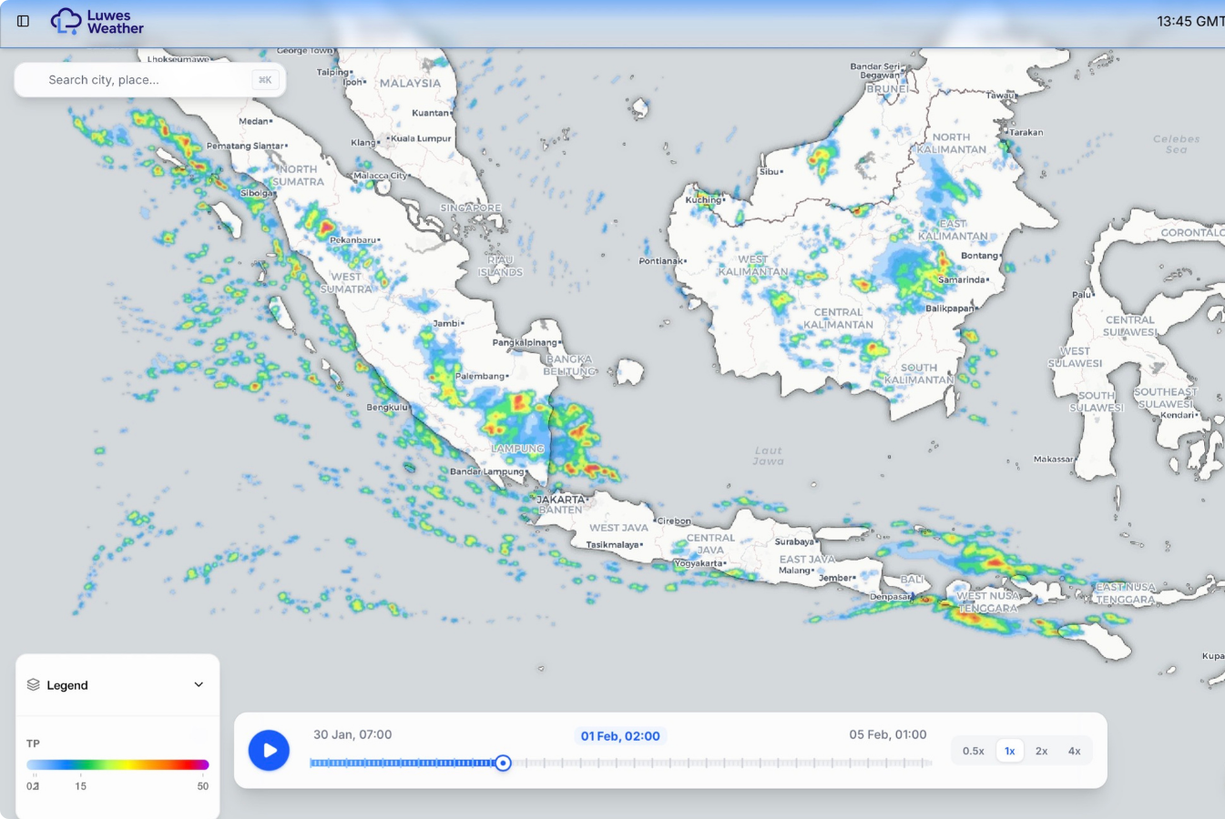
Indonesia weather forecast coverage map

Data Specification

Coverage

Indonesia Coverage

Spatial Resolution

  • Weather: ~3 km
  • Soil Moisture: 6 km Global
  • 500 m Regional
  • 100 m detailed coverage

Update schedule

  • Forecasts: hourly
  • Updates: 2× per day
  • Forecast Horizon: Up to 6 Days

Data Delivery

  • REST API
  • Web Map Visualization
  • Raster Layer
  • Dashboard Integration

Data sources

Satellite Sources

  • GNSS-R Observation
  • Microwave Soil Moisture
  • Radar Satellite Observation
  • Atmospheric Sounding Data

Ground measurements

  • Weather station network
  • Rain gauge network
  • Environmental IoT Sensors
  • Hydrology and Soil Sensors
01

Satellite

02

Data Fusion

03

Atmospheric Model

04

Output

Soil moisture information

Main Parameters

  • Water content by soil volume
  • Soil moisture index
  • Moisture around plant roots
  • Surface moisture monitoring

Uses

  • Irrigation planning
  • Drought monitoring
  • Flood risk monitoring
  • Land Productivity Optimization
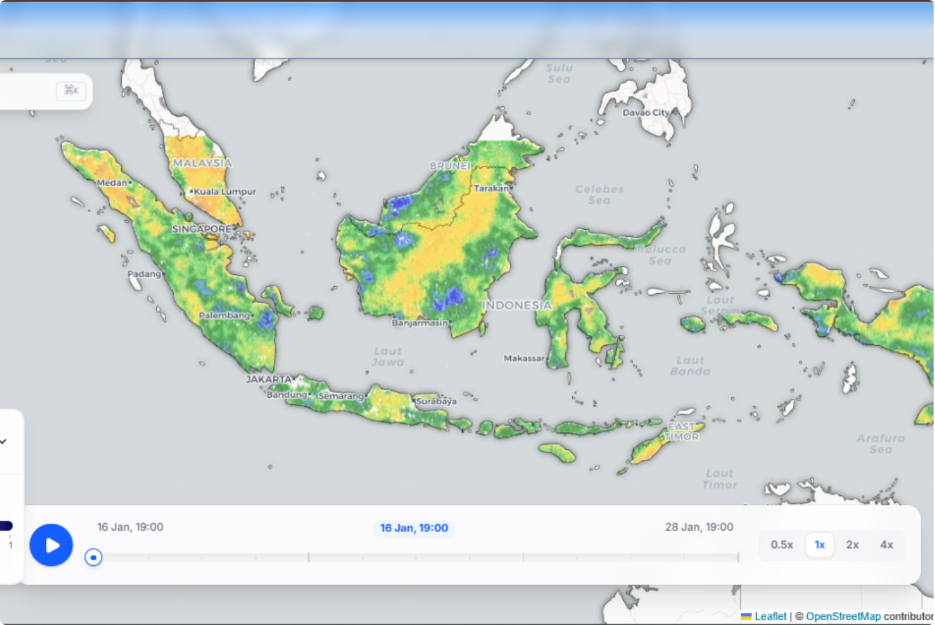
Soil moisture map visualization
Soil moisture detail visualization

Weather Forecast Parameters

Core Weather Parameters

  • Precipitation
  • Temperature
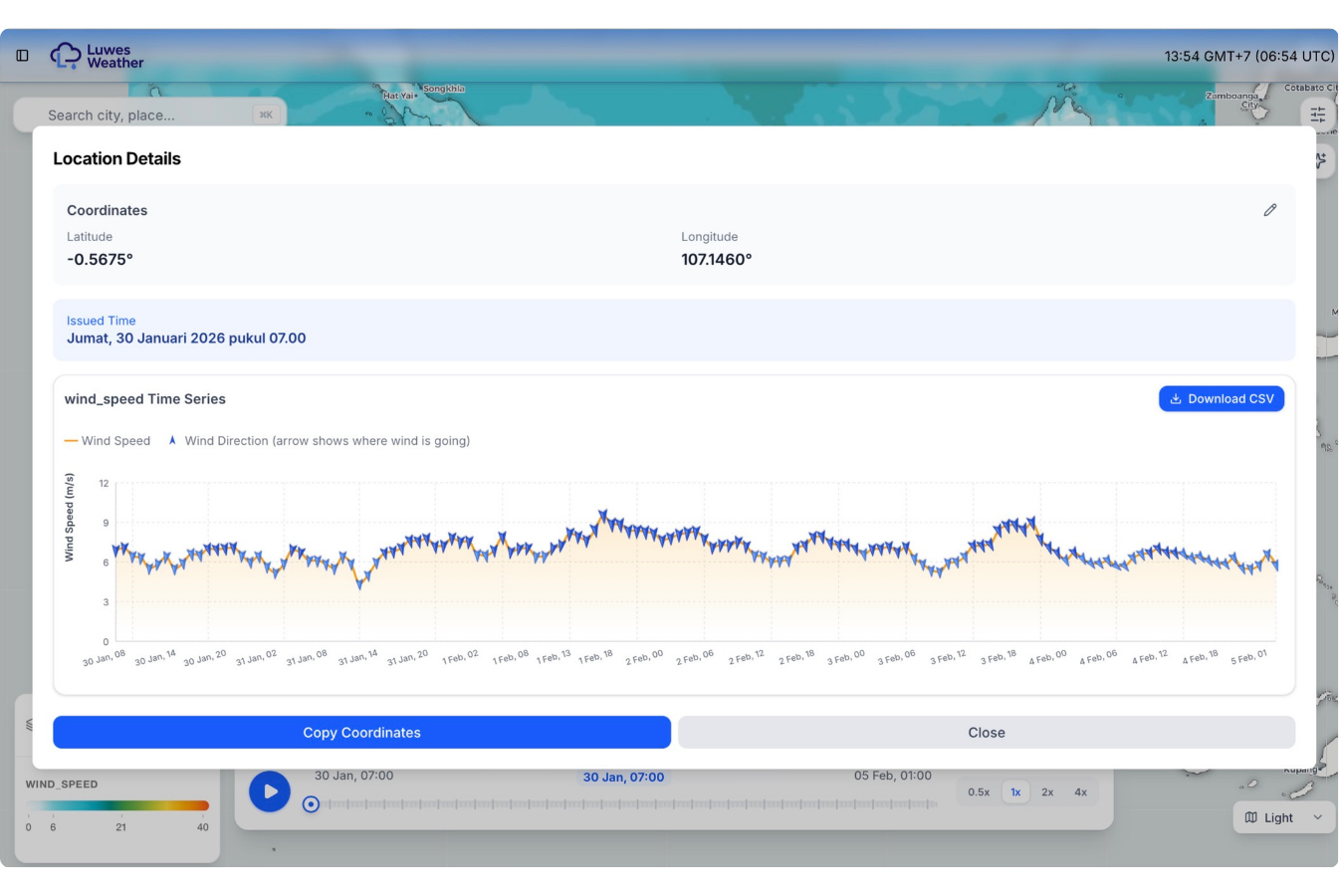
  • Wind at different heights
  • Relative Humidity
  • Cloud Cover
  • Solar Radiation

Advanced Atmospheric Parameters

  • CAPE, DCAPE, CIN
  • Vertical Wind Shear
  • Storm Helicity
  • LCL and LFC
  • Atmospheric Thickness
  • Atmospheric Anomaly Analysis

Technology Advantage

Satellite observations

Stable forecasts over time

Reliable measurements

Connects to existing systems

Options for different industries

Information for planning and decisions

Integration & Delivery

REST API Access

GIS integration

Control centre integration

Connects to monitoring screens

Plan with clearer weather and soil information